𝐌𝐔𝐒𝐓 𝐬𝐮𝐩𝐩𝐨𝐫𝐭𝐬 𝐝𝐢𝐬𝐚𝐬𝐭𝐞𝐫 𝐩𝐫𝐞𝐩𝐚𝐫𝐞𝐝𝐧𝐞𝐬𝐬 𝐭𝐡𝐫𝐨𝐮𝐠𝐡 𝐩𝐚𝐫𝐭𝐢𝐜𝐢𝐩𝐚𝐭𝐨𝐫𝐲 𝐦𝐚𝐩𝐩𝐢𝐧𝐠 𝐞𝐱𝐞𝐫𝐜𝐢𝐬𝐞 𝐢𝐧 𝐒𝐚𝐥𝐢𝐦𝐚
Posted By
James MphandePosted on
11th Feb, 2026
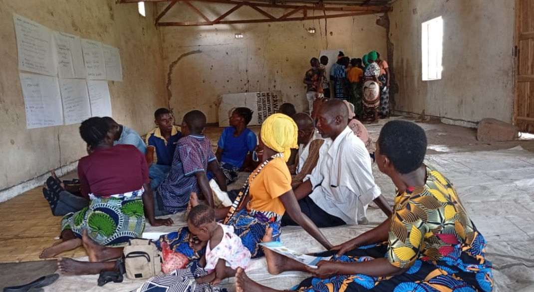
The African Drone and Data Academy (ADDA) at MUST recently conducted a three-day participatory mapping exercise in Salima District aimed at strengthening community disaster preparedness and reducing the impact of natural hazards.
Held from 28 to 30 January 2026, the exercise took place in Traditional Authority Kambwiri, covering Ngolomi 1 and Katsichi villages.
It brought together community members, MUST/ADDA staff, MUST graduates, and students to develop detailed community maps and Disaster Risk Management (DRM) plans to support local DRM planning.
It brought together community members, MUST/ADDA staff, MUST graduates, and students to develop detailed community maps and Disaster Risk Management (DRM) plans to support local DRM planning.
The initiative sought to mitigate the effects of natural disasters by producing accurate community maps and DRM plans that will assist the Salima District Council, local communities, and other stakeholders in planning, response, and decision-making.
Using drone technology, the team collected aerial data to identify flood-prone areas.
MUST graduates and students also used GPS devices to map key community features such as water points, churches, bridges, evacuation centres, mosques, clinics, and schools across the two Group Village Headships (GVHs).
This data will be integrated with drone imagery to produce detailed risk maps.
The mapping exercise further aimed to outline high-risk zones and provide visual evidence of areas frequently affected by floods, supporting efforts to improve early warning systems, preparedness strategies, and long-term community resilience.
The activity was led by Agnes Hamisi, an instructor and Geospatial Emergency Officer at ADDA, who coordinated the field team comprising ADDA staff, MUST graduates, and students.
Speaking on the importance of community involvement, Hamisi said community members actively contributed through a participatory mapping approach, supporting the development of DRM plans and risk maps.
“Their local knowledge played a vital role in ensuring the DRM plans and maps reflect real community needs and risks,” she said.
Previous