MUST supports updating of national land cover map
Posted By
James MphandePosted on
21st May, 2025
The Spatial Biodiversity Assessments, Prioritisation and Planning (SBAPP) project implemented in Malawi by the Malawi University of Science and Technology in partnership with the Environmental Affairs Department (EAD) has worked with various stakeholders to update the country’s land cover map.
The current version of the land cover map was released in 2010 and 15 years down the line, a lot of physical and other developments have happened on the ground, making it difficult for land use planning for authorities.
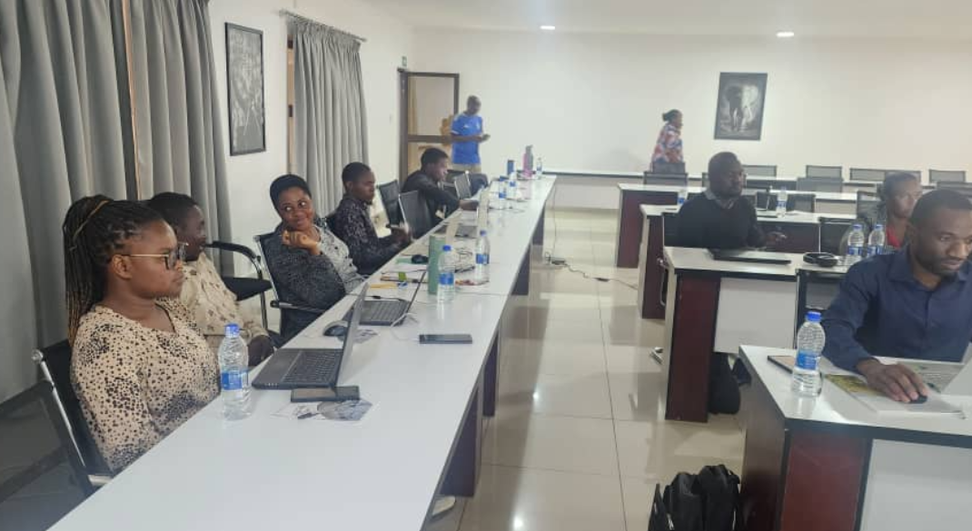
Speaking recently when stakeholders met at MUST campus in Thyolo for land cover map accuracy assessment, SBAPP project manager Dickson Mbeya said the work to update the land cover map started last year.
“At this stage, we have developed the map using a modern technology called Google Earth Engine and today’s meeting was aimed at having the stakeholders involved in the development to look at the accuracy of the maps before a validation meeting scheduled for May 22 and 23, 2025,” said Mbeya.
He said SBAPP project was involved in the exercise because one of its outputs is to come up with an ecological condition map for Malawi and this could not be done without an updated land cover map, which is one of the critical input into the ecological map.
Mbeya added the collaboration with departments of Surveys, Forestry, EAD, Land Resources, Physical Planning, Malawi Environmental Protection Authority and others started with a capacity building on a new processing platform and have been working together up to this stage.
Chief Land Resources Officer, Andrew Msosa, said the collaboration has been consultative and was hopeful of coming up with a product that would meet the requirements.
“We have worked as a team of stakeholders starting with the training on the new processing platform, Google Earth Engine which is a clouding computer program which makes work faster and is also user-friendly, unlike the previous ones,” he said.
After the validation meeting, once agreed upon, the new land cover map for Malawi is scheduled for presentation and adoption during the upcoming regional biodiversity mainstreaming workshop scheduled for early June in Salima.
The biodiversity mainstreaming workshop will draw participants from SBAPP regional member countries of Malawi, South Africa, Namibia and Mozambique.
Previous